


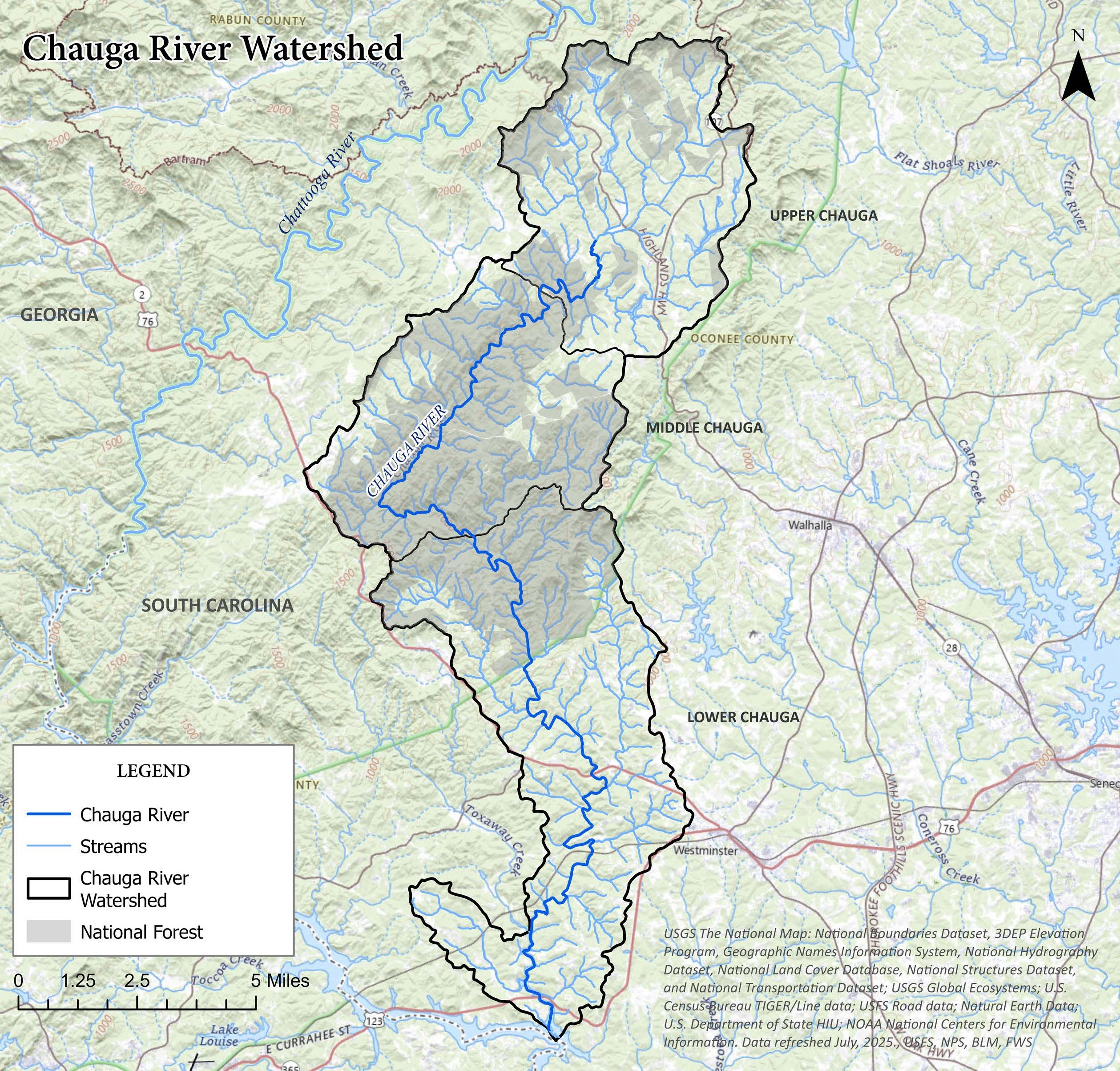
The Chauga River originates from headwaters in the Blue Ridge region of the Appalachian Mountains near Mountain Rest, SC and flows for approximately 31 miles to the Tugaloo River branch of Lake Hartwell near the town of Westminster. Its 70,539-acre watershed, a sub-watershed of the larger Savannah River Basin, is entirely within Oconee County. The Chauga River Watershed Plan includes the Upper, Middle, and Lower Chauga watersheds, covering a total of approximately 56,804 acres. The Upper Chauga River watershed contains both public and private land and is largely characterized by small man-made lakes on several of the river’s tributaries. In the Middle Chauga watershed, the river flows almost entirely through public national forest land popular for recreation. The Chauga passes through Chau Ram County Park and the rural outskirts of Westminster in the Lower Chauga River watershed before emptying into Lake Hartwell.
The Chauga River is situated on the border of the Blue Ridge and Piedmont biogeographical regions and supports many unique biological communities. The Chauga Crayfish, Cambarus chaugaensis, is one species that has been listed as imperiled by the South Carolina Department of Natural Resources (SC DNR) and documented as being “particularly sensitive to sedimentation”. According to the SCDNR, the Chauga River also provides one of the best remaining refuges for Bartram’s Bass (Micropterus sp. cf. coosae) in response to the invasive Alabama Bass. The Chauga is one of the few cold-water fisheries in the state and is stocked by SC DNR, but is also reportedly home to some wild trout. As sedimentation is known to reduce the chance of a self-sustaining trout population (Argent and Flebbe, EBTJV), recommended remediation measures included in this plan will help enhance trout habitat and populations.
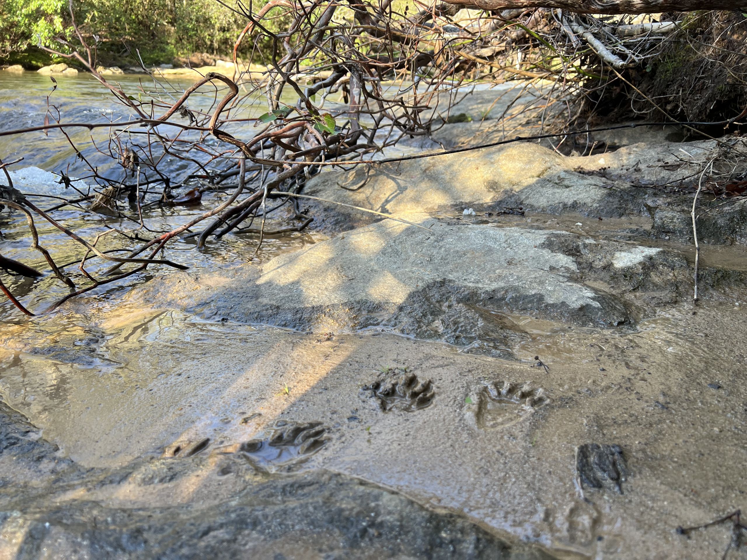
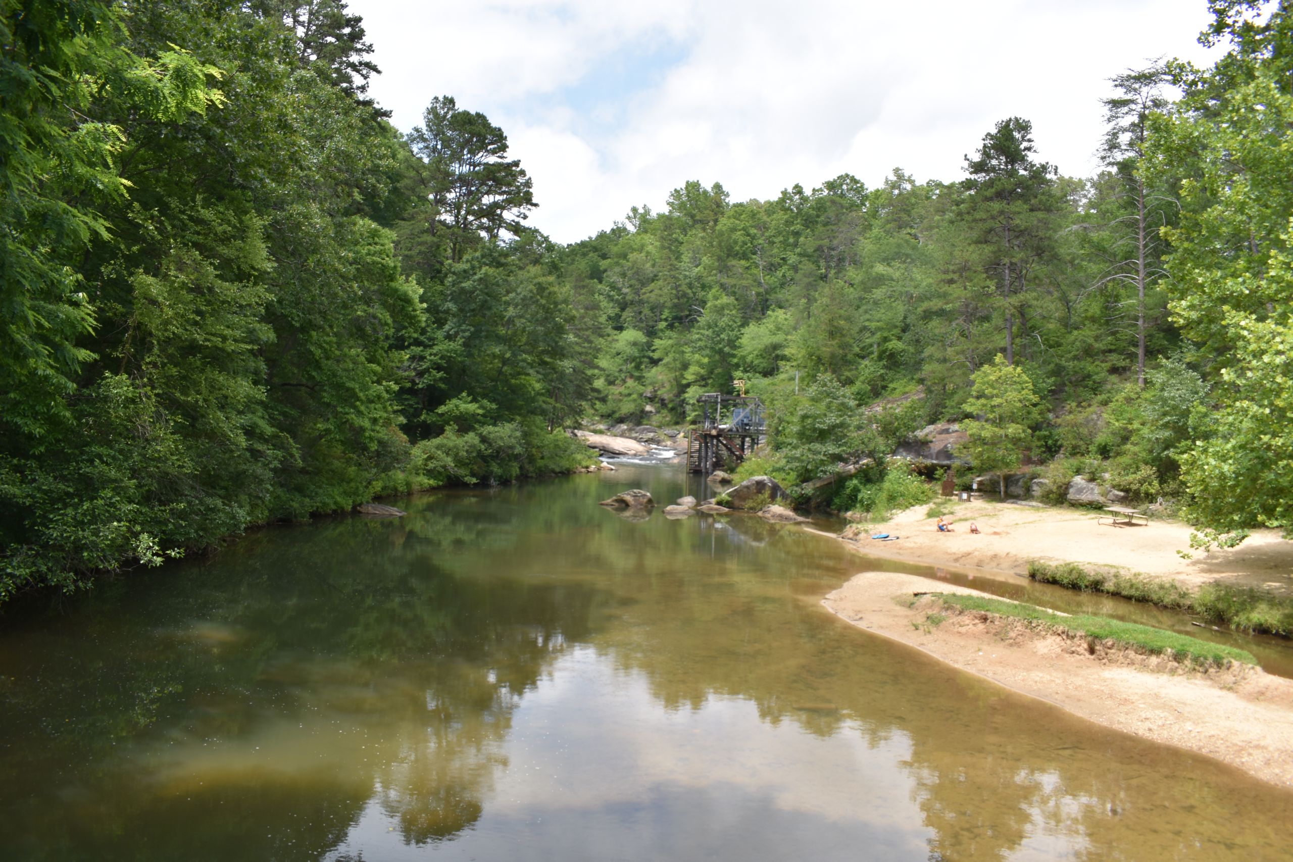
The Chauga River provides the source water intake for the City of Westminster, SC, which provides water services for approximately 7,500 residents. In the recent past, sediment impairment of the Chauga has caused the Westminster water plant to shut down following large rain storms. The facility was updated in 2006 to provide additional protections against heavy rain events that were causing water supply interruptions.
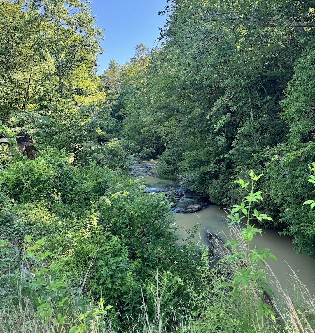
Pictured left: The City of Westminster’s source water intake is located just above Chau Ram County Park.
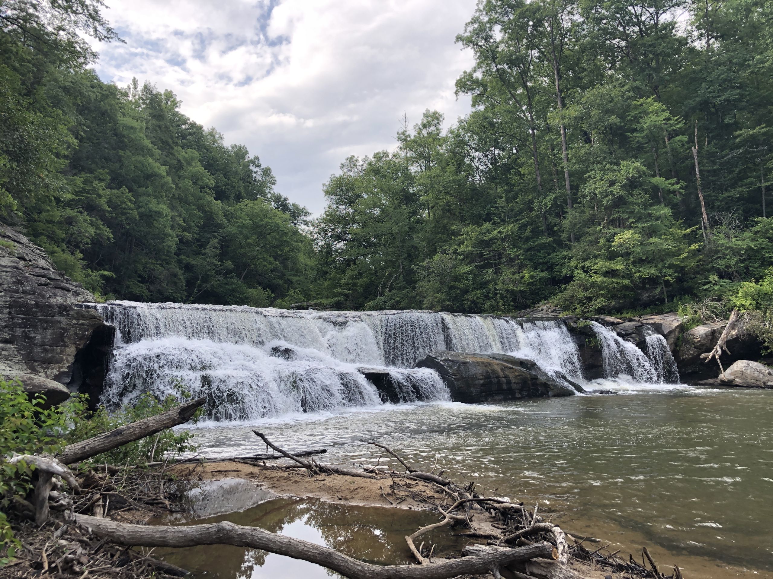
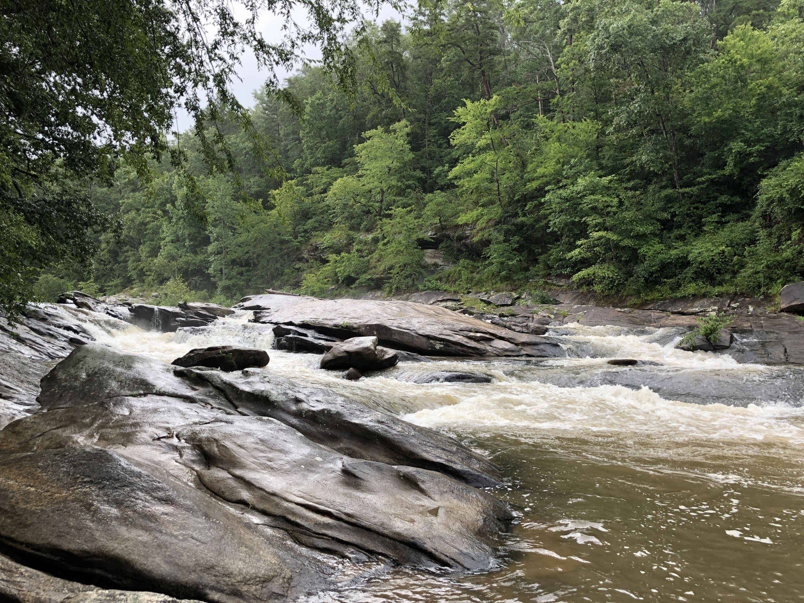
The Chauga River is popular for recreation for both residents and visitors to the county, as much of its middle portion flows through public land in the Sumter National Forest. Many users enjoy activities such as fishing, hiking, camping, hunting, swimming, and sight-seeing at attractions like the popular Riley Moore Falls (pictured right). One of Oconee County’s biggest developed tourist attractions is Chau Ram Park, located on the banks of the Chauga River.
Due to the river’s popularity and the entirety of its flow being within the county, there are numerous entities interested in restoring and protecting it. This includes the City of Westminster, U.S. Forest Service, Oconee County, Chattooga River Chapter of Trout Unlimited, Oconee County Soil and Water Conservation District, and SCDNR, as well as the countless residents and visitors who enjoy the river each year.
The development of the Chauga River Watershed Plan is led by the Chattooga Conservancy with the assistance of our cooperating and supporting partners who each provide unique knowledge and expertise. Following US EPA and SC DES guidelines for watershed planning, the Chauga WP development process includes assessing current conditions in the watershed; engaging local stakeholders, governments, and organizations; and evaluating and updating issues of concern and land-use data. Water quality data is being collected and analyzed using SC Adopt-a-Stream procedures with additional grant funding from the Pete and Sally Smith Foundation (see the “Water Sampling Sites” layer on our Interactive Map to view locations and find links to results). This in-depth watershed analysis has informed a thorough list of recommended BMPs with targeted implementation milestones and long-term monitoring goals.
Based on observations and assessment of land uses in the watershed, primary sources of pollution are believed to fall under the following categories:
- Agricultural operations (bacteria, sediment, nutrients)
- E.g. livestock given access to streams, eroding streambanks, or lack of riparian buffers to filter runoff
- Septic systems (bacteria, nutrients)
- Leaking, damaged, aging, or improperly sited or installed systems
- Gravel roads (sediment)
- Lacking riparian buffers or effective water control features, allowing fine sediment to wash into streams via ditches/ruts
- Construction & land disturbance (sediment)
- Unregulated land-disturbing activities or sites with faulty or absent stormwater controls
- Headwaters lakes (bacteria, nutrients, temperature)
- Potential pollutants from residential development (septic systems, fertilizers, etc.); surface release (warmer water)
- Agricultural best management practices (BMPs), such as fencing livestock out of streams, installing secondary water sources/wells, and restoring streambanks;
- Septic system maintenance program to provide a cost-share opportunity for residents to repair, replace, or pump out septic systems;
- Urban stormwater management addressing polluted runoff from paved roads and residences;
- Land protection to promote long-term preservation of agricultural and undeveloped land and prevent future pollution;
- Recreational land demonstration project restoring habitats and protecting aquatic resources in a public-use area;
- Non-native invasive species management targeting kudzu, mimosa, and privet, as well as feral hogs and other invasives to protect native species;
- Native river cane restoration to foster growth of an imperiled native habitat type on the banks of the Chauga;
- Cold-water dam release added to lakes where it is not already in place, to reduce the potential for downstream thermal pollution;
- Local land development regulations or potential future measures the county could consider to maintain vegetated stream buffers, reducing sedimentation from land disturbance and construction;
- Aquatic connectivity and habitat restoration assessing culverts, dams, and other barriers to free movement of aquatic organism.
Public cooperation and support are key to the lasting success of many water quality improvement initiatives. Outreach strategies outlined in the Draft Chauga WP would aim to increase public education and awareness of various factors impacting water quality and ways we can help mitigate them.
- Litter prevention and Leave No Trace (LNT) initiatives including signage, organized clean-ups, and educational programming;
- Community science monitoring with SC Adopt-a-Stream to involve interested members of the public in collecting valuable water quality data in streams around the watershed;
- Silvicultural BMP education including seminars to encourage private landowners to implement measures to reduce erosion and sedimentation from silvicultural practices;
- USFS trail/access signage recommended to be added at popular locations on the national forest with information about LNT principles and best practices for forest users;
- Landowner and stakeholder outreach including a seminar series and general outreach to help inform residents about agricultural BMPs, septic system maintenance, silvicultural BMPs, feral swine management, and more;
- Media outreach utilizing social media, web, flyers, newsletters, and other outlets to reach as many members of the public as possible.
The Chattooga Conservancy held a community outreach event at Chau Ram County Park on March 21, 2026 to discuss the development of the Chauga River Watershed Plan and solicit input from local residents and stakeholders. After the presentation, attendees enjoyed a guided hike in Chau Ram Park, led by park supervisor Rec Cobb. Thank you to all who participated! If you were unable to attend the event, you can review the presentation here: Chau Ram Presentation 3.21.26 and submit feedback below.
Questions about the Chauga River Watershed Plan? Please visit our Contact page to find ways to connect with our team.