Assessment
Georgia
Background
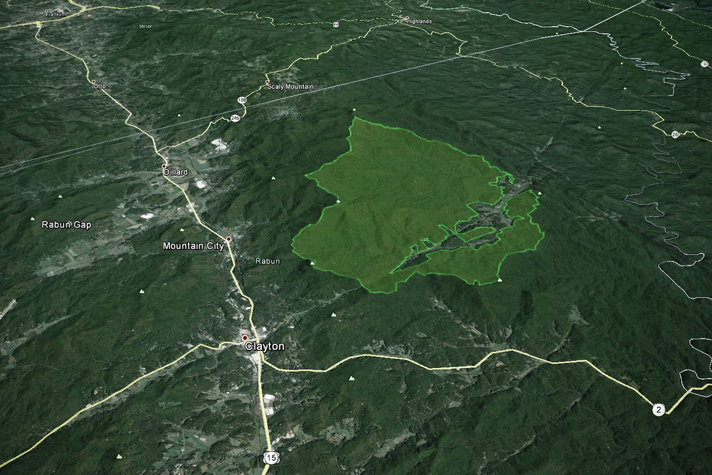
The Forest Service’s Upper Warwoman Draft Environmental Assessment proposed “treatments” on about 11,424 acres of national forest land in the Warwoman Creek watershed. Details of the draft proposal included: 1,180 acres of timber harvesting; 10,121 acres of burning (5,406 acres of which would occur during the growing season); 11 miles of road building, requiring construction of 5 stream crossings; road building into a portion of the Windy Gap Roadless Area (a roadless area that was illegally excluded from protection during the last Chattahoochee Forest Plan revision); and, the Warwoman project would occur in the landscape where over 75% of the project area is located on steep and/or very steep slopes. Also of note is that the draft EA stated that implementing the project would result in a hefty net loss to taxpayers of negative $1,358,170.
The Chattooga Conservancy submitted comments on the draft EA, which urged the Forest Service to:
- protect the Windy Gap Roadless Area; restore connected patches of native old growth trees across the landscape;
- incorporate the use of benign neglect as an option to heavy-handed management (heavy-handed management – i.e., the EA called for large scale burning, timber harvesting and road reconstruction of the Tuckaluge Spur Road, which would disqualify about 2,000 acres of the Windy Gap Roadless Area; and,
- protect water quality by decommissioning the Milksick Cove and Windy Gap Roads, continued use of which are clearly at odds with protecting Tuckaluge Creek from increased erosion and sedimentation, and detract from backcountry objectives of higher value along the Bartram Trail.
We are monitoring the outcome of the Forest Service’s Decision Notice on this project, and will post our findings here.