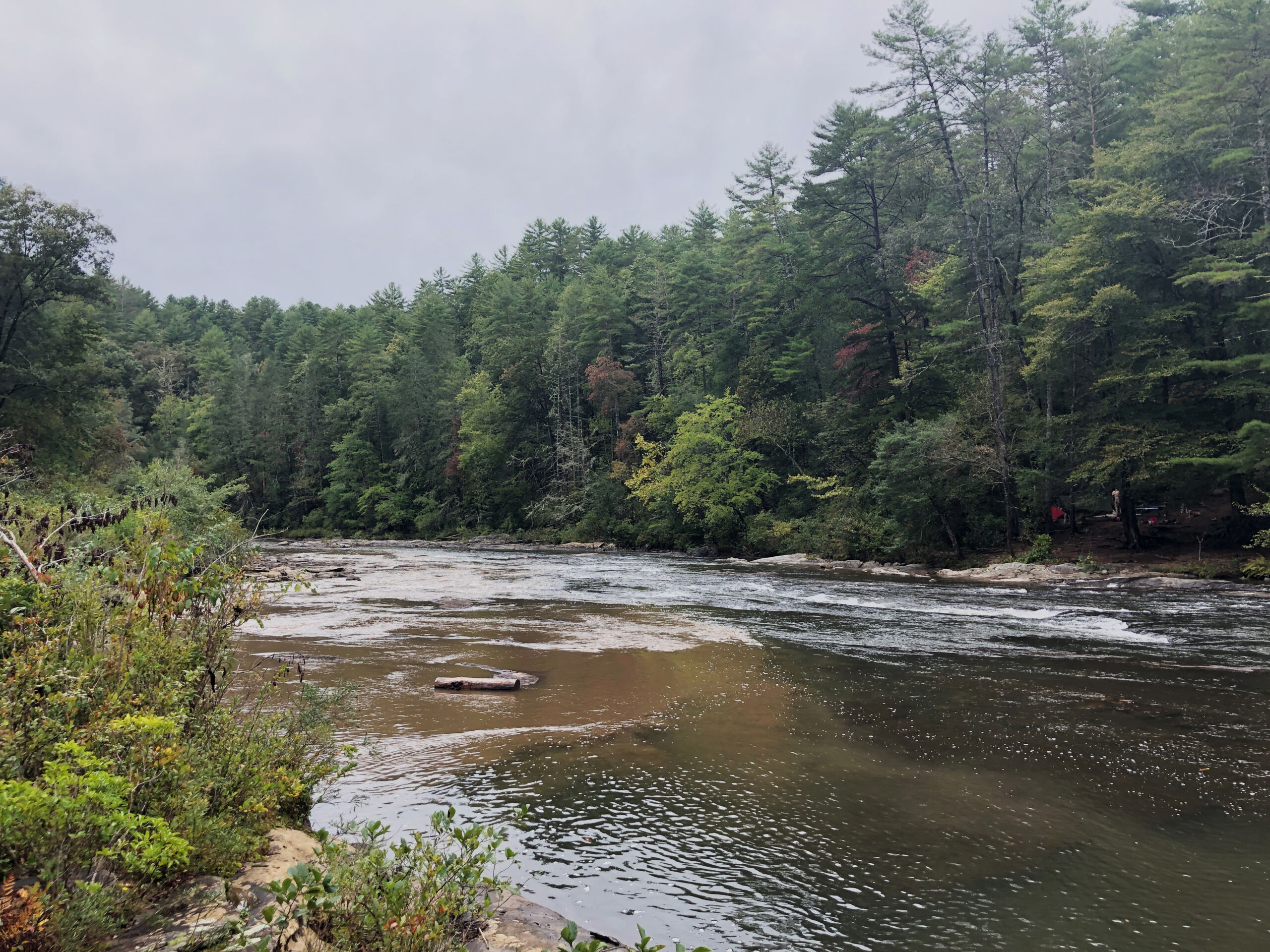
The Chattooga River’s water quality is currently threatened by pollution in several of its tributaries. The Chattooga Conservancy is working to monitor streams and creeks throughout the watershed, identify potential sources of sediment and fecal coliform pollution, and find ways to mitigate these pollution sources.
From August to December 2019, this work was supported through a Wild & Scenic Rivers Stewardship Partnership grant from River Network, with funding provided by the U.S. Forest Service. Click here to download 2019 data.
If you would like to support our water quality monitoring efforts, please consider becoming a member or donating! Annual contributions from our members are extremely important to the success of our organization, allowing us to continue projects like this that lead to direct actions to protect the river we all love.
If you’re interested in volunteering to collect samples, please let us know! Call us at 864-647-9849 or email info@chattoogariver.org.
Sample locations can be seen on our Chattooga Watershed Interactive Map.
The Georgia state water quality standards* for bacteria (fecal coliform) are as follows:
[Criteria based on at least 4 samples collected from a given site over a 30-day period.]
- May- Oct: Not to exceed a geometric mean of 200 cfu/100 mL
- Nov- April: Not to exceed a geometric mean of 1,000 cfu/100 mL; no single sample shall exceed 4,000 cfu/100 mL.
The South Carolina state water quality standards* for bacteria (E. coli) are as follows:
[Criteria based on at least 4 samples collected from a given site over a 30-day period.]
- Not to exceed a geometric mean of 126/100 mL; no single sample shall exceed 349/100 mL.
*Water quality standards vary based on stream/ water classification. The listed standards apply to those in the Chattooga River watershed.
Fecal Coliform/ E. coli Results
cfu/100 mL
< Scroll left/right within the table to view additional dates >
Adjust “Show (#) entries” to view all sites, or use the Search bar to the right to filter by creek or location.
SiteID | River/Creek | Location_Description | 9/28/23 | 5/24/23 | 5/10/23 | 4/5/23 | 2/1/23 | 1/5/23 | 11/28/22 | 10/31/22 | 9/26/22 | 7/29/21 | 7/19/21 | 7/7/21 | 6/30/21 | 6/17/21 | 6/2/21 | 5/25/21 | 5/12/21 | 5/6/21 | 4/14/21 | 4/6/21 | 3/31/21 | 3/18/21 | 3/10/21 | 2/28/21 | 2/24/21 | 2/3/21 | 1/10/21 | 12/15/20 | 12/13/20 | 11/24/20 | 11/20/20 | 11/4/20 | 10/31/20 | 10/7/20 | 9/11/20 | 8/23/20 | 7/31/20 | 6/19/20 | 6/18/20 | 5/15/20 | 5/4/20 | 4/10/20 | 4/1/20 | 3/19/20 | 2/26/20 | 1/15/20 | |
---|---|---|---|---|---|---|---|---|---|---|---|---|---|---|---|---|---|---|---|---|---|---|---|---|---|---|---|---|---|---|---|---|---|---|---|---|---|---|---|---|---|---|---|---|---|---|---|---|---|
WC-RG | Whetstone Creek | Rocky Gap | 200* | 967 | 1,266 | 1500* | 1200* | 0* | 67* | 100* | |||||||||||||||||||||||||||||||||||||||
WC-CR | Whetstone Creek | Chattooga Confluence | 300* | 266* | 600* | 333* | 100* | 600* | 333* | 200* | 33* | 1033* | 200* | 33* | 133* | 233* | 33* | 167* | 233* | 33 | |||||||||||||||||||||||||||||
WC-CON | Whetstone Creek | Conley Rd | 633* | 3,133 | 600 | 7900* | 2233* | 600* | 900* | 7400* | 767* | 967* | 733* | 3367* | 8733* | 200* | 467* | 100* | |||||||||||||||||||||||||||||||
WC-E | Whetstone Creek | Earl's Ford Rd bridge | 600 | 3,600 | |||||||||||||||||||||||||||||||||||||||||||||
WC-JM | Whetstone Creek | John Mtn Rd | 1,167 | 3,600 | 1567* | 1933* | 633* | 1700* | 933* | 167* | 467* | 133* | 100* | 367* | 367* | 233* | 500* | 1733* | 1300* | 733 | |||||||||||||||||||||||||||||
WC-CPO | Whetstone Creek | Conley Pond Outlet | 0 | 0 | |||||||||||||||||||||||||||||||||||||||||||||
LC-1 | Long Creek | Orchard Rd | 100* | 33 | 33* | 100* | 500* | 67* | 767* | 33* | |||||||||||||||||||||||||||||||||||||||
FC-NF | Fall Creek - North Fork | Fall Creek Rd. Extension | 367 | NA | 0* | 0* | 300* | 933* | 333* | 200* | |||||||||||||||||||||||||||||||||||||||
C-3 | Chattooga River | Hwy 28 bridge | |||||||||||||||||||||||||||||||||||||||||||||||
C-N | Chattooga River | Narrows | 200* | ||||||||||||||||||||||||||||||||||||||||||||||
C-1 | Chattooga River | Hwy 76 bridge | 39 | 32 | 13 | 62 | 25 | 3 | 17 | 15 | 33* | 51 | 0* | 0* | 433* | 0* | 0* | 33* | 33 | 0 | 63 | 63 | |||||||||||||||||||||||||||
C-2 | Chattooga River | Stekoa Creek confluence | |||||||||||||||||||||||||||||||||||||||||||||||
SC-2 | Scott Creek | Sundance | |||||||||||||||||||||||||||||||||||||||||||||||
SC-1 | Scott Creek | Marsengill St | 275 | 587 | 307 | TNTC | 499 | 74 | 56 | 19 | 233* | 137 | 202 | 48 | 149 | ||||||||||||||||||||||||||||||||||
SC-3 | Scott Creek | Shadyside Rd | |||||||||||||||||||||||||||||||||||||||||||||||
SC-4 | Scott Creek | Shadyside Rd 2 | 200* | ||||||||||||||||||||||||||||||||||||||||||||||
SG | Saddle Gap | Polly Gap Rd | |||||||||||||||||||||||||||||||||||||||||||||||
SCP | Stekoa Creek | Stekoa Creek Park | 175 | 36 | 92 | 129 | 35 | 186 | 33 | ||||||||||||||||||||||||||||||||||||||||
S-GM | Stekoa Creek | Grist Mill | 22 | ||||||||||||||||||||||||||||||||||||||||||||||
S-DQ | Stekoa Creek | DQ/Old Livery St | 361 | 117 | 208 | 594 | 79 | 545 | 33 | 28 | 19 | 80 | 172 | 184 | |||||||||||||||||||||||||||||||||||
S-1 | Stekoa Creek | CVS/Railroad St | 576 | 167 | 435 | 371 | 352 | 673 | 61 | 38 | 0* | 63 | 324 | 151 | 160 | ||||||||||||||||||||||||||||||||||
S-2 | Stekoa Creek | Sunday Diner/Village Way | 840 | 307 | 405 | TNTC | 327 | 997 | 533 | 715 | 51 | 133* | 439 | 347 | 92 | 179 | |||||||||||||||||||||||||||||||||
S-5 | Stekoa Creek | Bethel Church Rd | 107 | 187 | 79 | 113 | |||||||||||||||||||||||||||||||||||||||||||
S-4 | Stekoa Creek | Hwy 441 & Rickman Airfield bridge | |||||||||||||||||||||||||||||||||||||||||||||||
S-RA | Stekoa Creek | Rickman Airfield bridge | 201 | ||||||||||||||||||||||||||||||||||||||||||||||
S-ST | Stekoa Creek | Rickman Airfield bridge 2 | 213 | ||||||||||||||||||||||||||||||||||||||||||||||
S-3 | Stekoa Creek | Wolf Creek Rd | 485 | 181 | 229 | 563 | 189 | 173 | 129 | 131 | 304 | 285 | 1367* | 67* | 133* | 164 | 197 | ||||||||||||||||||||||||||||||||
S-CR | Stekoa Creek | Chattooga Confluence | |||||||||||||||||||||||||||||||||||||||||||||||
SR-1 | Sarah's Creek | Upstream of Camp | |||||||||||||||||||||||||||||||||||||||||||||||
SR-2 | Sarah's Creek | Lower Camp | |||||||||||||||||||||||||||||||||||||||||||||||
W-SF | Warwoman Creek | Sandy Ford Rd | |||||||||||||||||||||||||||||||||||||||||||||||
W-JS | Warwoman Creek | Joe Speed Rd | 39 | ||||||||||||||||||||||||||||||||||||||||||||||
W-HC | Warwoman Creek | Joe Speed-Earls Ford bridge | |||||||||||||||||||||||||||||||||||||||||||||||
W-1 | Warwoman Creek | Earl's Ford Rd bridge | 25 | 33* | 267* | ||||||||||||||||||||||||||||||||||||||||||||
W-2 | Warwoman Creek | Earl's Ford last campsite | |||||||||||||||||||||||||||||||||||||||||||||||
W-3 | Warwoman Creek | Earl's Ford | |||||||||||||||||||||||||||||||||||||||||||||||
BC | Big Creek | Hwy 28 | |||||||||||||||||||||||||||||||||||||||||||||||
LG | Law Ground Creek | Warwoman Rd | |||||||||||||||||||||||||||||||||||||||||||||||
WF | West Fork | Warwoman Rd Bridge | 0 | ||||||||||||||||||||||||||||||||||||||||||||||
SEE | Unnamed Chattooga Tributary | SEE parking lot | |||||||||||||||||||||||||||||||||||||||||||||||
FH | East Fork Chattooga | Walhalla Fish Hatchery | |||||||||||||||||||||||||||||||||||||||||||||||
LC-2 | Long Creek | Long Creek Falls |
*E. coli
TNTC= Too numerous to count
Rain events (0.2″ or more of rain in the last 24 hrs):10/31/22; 7/19/21; 5/12/21; 3/31/21; 3/18/21; 7/31/20
Turbidity Results
NTU
Adjust “Show (#) entries” to view all sites, or use the Search bar to the right to filter by creek or location.
SiteID | River/Creek | Location_Description | 7/29/21 | 7/7/21 | 6/2/21 | 5/12/21 | 4/14/21 | 3/31/21 | 3/10/21 | 2/24/21 | 2/3/21 | 11/4/20 | 10/7/20 | 2/26/20 | 1/15/20 |
---|---|---|---|---|---|---|---|---|---|---|---|---|---|---|---|
C-1 | Chattooga River | Hwy 76 bridge | 4.80 | 2.01 | 2.78 | 2.64 | 3.29 | 1.61 | 1.84 | 3.08 | 2.65 | 3.25 | 4.67 | ||
C-2 | Chattooga River | Stekoa Creek confluence | |||||||||||||
SC-2 | Scott Creek | Sundance | |||||||||||||
SC-1 | Scott Creek | Marsengill St | 7.90 | 8.90 | 8.68 | 10.6 | 8.91 | 4.20 | 5.49 | 2.8 | 4.6 | 10.4 | 7.42 | 6.98 | |
SC-3 | Scott Creek | Shadyside Rd | |||||||||||||
SG | Saddle Gap | Polly Gap Rd | |||||||||||||
SCP | Stekoa Creek | Stekoa Creek Park | 4.64 | 3.14 | 3.41 | 6.23 | 4.93 | 171.0 | 2.89 | ||||||
S-GM | Stekoa Creek | Grist Mill | 3.13 | ||||||||||||
S-DQ | Stekoa Creek | DQ/Old Livery St | 4.21 | 3.15 | 3.28 | 8.95 | 5.43 | 238.0 | 2.41 | 4.29 | 2.71 | 4.67 | 3.42 | 18.2 | |
S-1 | Stekoa Creek | CVS/Railroad St | 5.28 | 5.44 | 4.84 | 9.33 | 5.96 | 225.0 | 3.04 | 2.7 | 3.61 | 3.44 | 4.96 | 12.2 | |
S-2 | Stekoa Creek | Sunday Diner/Village Way | 7.20 | 7.49 | 5.93 | 11.1 | 7.19 | 292.0 | 3.32 | 4 | 3.86 | 5.36 | 7.28 | 7.36 | 11.2 |
S-5 | Stekoa Creek | Bethel Church Rd | 4.16 | 4.79 | 6.65 | 11.7 | |||||||||
S-4 | Stekoa Creek | Hwy 441 & Rickman Airfield bridge | |||||||||||||
S-RA | Stekoa Creek | Rickman Airfield bridge | 5.12 | ||||||||||||
S-ST | Stekoa Creek | Rickman Airfield bridge 2 | 5.53 | ||||||||||||
S-3 | Stekoa Creek | Wolf Creek Rd | 7.25 | 5.46 | 6.59 | 16.1 | 7.41 | 4.33 | 6.74 | 4.21 | 5.58 | 3.76 | 7.42 | 8.47 | |
W-JS | Warwoman Creek | Joe Speed Rd bridge | 2.76 | ||||||||||||
W-HC | Warwoman Creek | Joe Speed Rd bridge at Earls Ford Rd | |||||||||||||
W-1 | Warwoman Creek | Earl's Ford Rd bridge | 3.11 | ||||||||||||
W-2 | Warwoman Creek | Earl's Ford last campsite | |||||||||||||
BC | Big Creek | Hwy 28 | |||||||||||||
WF | West Fork | Warwoman Rd Bridge | |||||||||||||
SEE | Unnamed Chattooga Tributary | SEE parking lot | |||||||||||||
WC-1 | Whetstone Creek | Fall Creek Rd | |||||||||||||
WC-2 | Whetstone Creek | Earl's Ford Rd bridge | |||||||||||||
LC-1 | Long Creek | Orchard Rd | |||||||||||||
LC-2 | Long Creek | Long Creek Falls |
Rain events (0.2″ or more of rain in the last 24 hrs): 5/12/21; 3/31/21