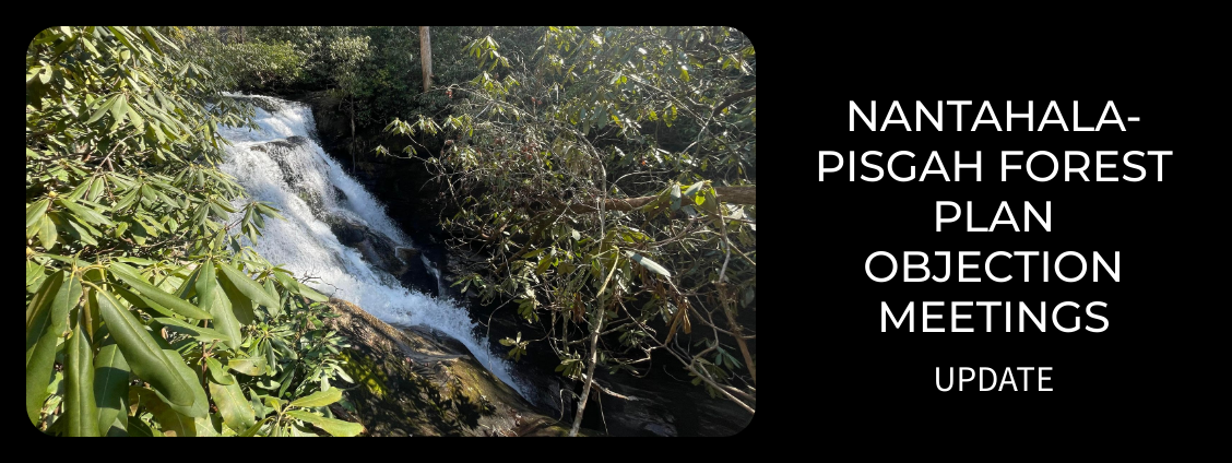
Plan Revision
North Carolina

SEPTEMBER 2022 UPDATE
The arduous nearly 10-year process of revising the Nantahala-Pisgah Forest Plan inched closer to the finish line on August 2nd, 3rd and 4th, when the Forest Service convened a marathon three-day session of “objection resolution” meetings. Over 14,400 objections to the new forest plan’s final environmental impact statement (FEIS) were submitted online; however, the Forest Service deemed only 819 objections as eligible under the agency’s rules. The day before the objection resolution meetings commenced, nearly 500 citizens rallied at the Forest Supervisor’s office in Asheville to protest the new forest plan, including Buzz Williams of Chattooga Conservancy, who addressed the crowd and called for changing the Forest Service’s mission and removing the agency from the US Department of Agriculture. After decades of trying to temper the Forest Service’s timber harvesting program with scant success, more and more citizens are rallying to this call as the logical and timely next step.
During the three days of objection resolution meeting discussions, we and many others pointed to fatal flaws in the FEIS, that include, for example: lack of protection for existing old growth; failure to designate eligible sections of wild & scenic rivers; inadequate protections for fragile and sensitive habitats, species and aquatic resources; and, failure to address climate change. Clearly, in light of the ongoing worldwide crash of biological diversity, diminishing sources of clean water, and the ravages of climate change, the Forest Service must now prioritize protecting our public lands rather than managing these forests predominantly as tree farms.
We expect the Forest Service’s review of all the objections, and the new information conveyed during the objection resolution discussions, to extend into late fall, with decisions about the final content of the new Nantahala-Pisgah Forest Plan to be reached by late 2022 or early 2023. Stay tuned.
March 2022 Update
The Forest Service’s new Final Draft of the revised Forest Plan for the Nantahala-Pisgah National Forest is deeply flawed. This plan was released in late January 2022, and it sets the stage for at least doubling and up to quadrupling logging levels in the forest, while slashing protections for old growth, rare species habitat, clean water, important conservation areas and valued recreation zones. Further, the Nantahala portion of this national forest, which contains the Chattooga River headwaters, is designated for about 90,000 more acres of timber extraction actions than the Pisgah portion of the forest—although they are the same size. And this flawed forest plan will be in effect, and going headlong in the wrong direction, for the next 20 to 30 years! Forest Service media and documents related to the Nantahala-Pisgah Forest Plan can be found here.
- The Regional Forester has 90 days to review and respond to objections (and the Forest Service has the discretion to extend this time period). This is expected to include meetings with Forest Service staff, with individuals or groups of objectors.
- There will be a final decision, and new forest plan in place by mid to late 2022.
On January 21, 2022, the Forest Service released the Final Environmental Impact Statement and revised Land Management Plan for the Nantahala-Pisgah National Forest. The forest plan release culminated a 10-year planning process to revise the badly outdated 1994 forest plan. (The National Forest Management Act requires forest management plans to be updated every 10-15 years). This forest plan revision also included an extensive public involvement process as prescribed by the National Environmental Policy Act, and the Forest Service’s 2012 Forest Planning Rule.
The last requirement before the Final Revised Plan becomes the legal defining document for managing the Nantahala-Pisgah National Forest for the next 20-30 years is a 60-day objection period. The Forest Service is only obligated to consider objections filed by those who have standing, i.e., they have previously filed comments during the lengthy forest planning process.
The Final Revised Plan proposes: at least a doubling, and up to a four-fold increase in timber harvesting; a major increase in prescribed burning; allowing local district rangers the discretion to continue harvesting old growth forests; and, inadequate measures to address climate change. In addition, the Final Revised Plan fails to protect eligible wild and scenic rivers and qualified potential wilderness areas, and creates an inflated timber base by using esoteric computer models biased towards creating more early successional habitats to justify timber harvesting to meet Forest Service timber targets.
National forests should be managed according to the best available scientific information focused on the principles of conservation biology, which call for management that complements the natural processes of sustainability for all native habitats. The Nantahala-Pisgah National Forest lies within the Blue Ridge Mountain Ecological Province of the Southern Appalachian Mountains, and is composed predominantly of mixed hardwood forests, but also includes high elevation balds, spruce-fir ecosystems and piney ridges. The natural processes of sustainability are heavily dependent on the occurrence of high rainfall, steep slopes, soils that are often highly erodible, temperate climate, prevailing subtropical winds, the absence of previous glaciation and the presence of pockets of glacial period refugia, resulting in one of the most highly diverse ecosystems on Earth. Here, natural disturbance, including windfall, ice storms and wildfire on dry ridges, results in canopy gaps of between ¼ to ½ acre or more, and creates a changing dynamic of all seral stages of succession within an uneven age forest, from early successional habitats through old growth stages. Up until the time of European settlement, large herbivores such as elk maintained canopy gaps, creating a mosaic of what the early botanist William Bartram described in 1775 as a landscape of “swelling turfy ridges and groves of stately forest trees.”
Management should seek to restore our native ecological processes, including benign neglect to allow natural systems to recreate a mosaic of all habitat types dispersed throughout the landscape, and to utilize active management to maintain wildlife openings to mimic the effects of now absent keystone species. Management should also focus on creating a network of mature and old growth native forest connected across the landscape to provide migratory corridors to help native species adapt to climate change, and to serve as carbon sinks to mitigate the effects of climate change.
Management will play a critical role, first and foremost, in restoring and protecting critical habitats for threatened, endangered and sensitive species, and especially for old growth forests, which have dwindled to less than ½ of 1% of their original existence. Natural science based management will be essential to protect and restore biological diversity, to ensure the healthy native forests upon which human health depends. The Final Revised Forest Management Plan proposed by the Forest Service for the Nantahala-Pisgah National Forest falls well short of achieving these goals.
Of particular concern for those of us in the Chattooga River watershed, which lies in the Nantahala portion of the greater Nantahala-Pisgah National Forest, is the fact that there are 90,000 acres more timber production areas here than in the Pisgah National Forest, though each forest is of equal acreage (about 500,000 acres each).
The Forest Service, with its history of bias in favor of commodity extraction, has fashioned a new forest plan that is just as bad as the previous one, because it does not use good science, does not adequately protect critical habitat for threatened, endangered and sensitive species and ecosystems, allows the harvesting of rare old growth forests, and fails to address climate change. It is time for the people who own the national forests to speak up for changing the Forest Service’s mission—from crop tree management, to protecting and restoring native forests and healthy ecosystems.
The Chattooga Conservancy offered these talking points for filing an objection to certain issues in the Final Revised Nantahala-Pisgah Forest Management Plan, pertaining to Forest Service management of the Chattooga River watershed and contiguous lands of the southern Blue Ridge Escarpment area, specifically the Whitewater and Thompson River watersheds, that is referred to in the Revised Forest Plan as the “Highlands Domes” geographic area. These talking points address overarching management principles as well as those specific to our area of interest.
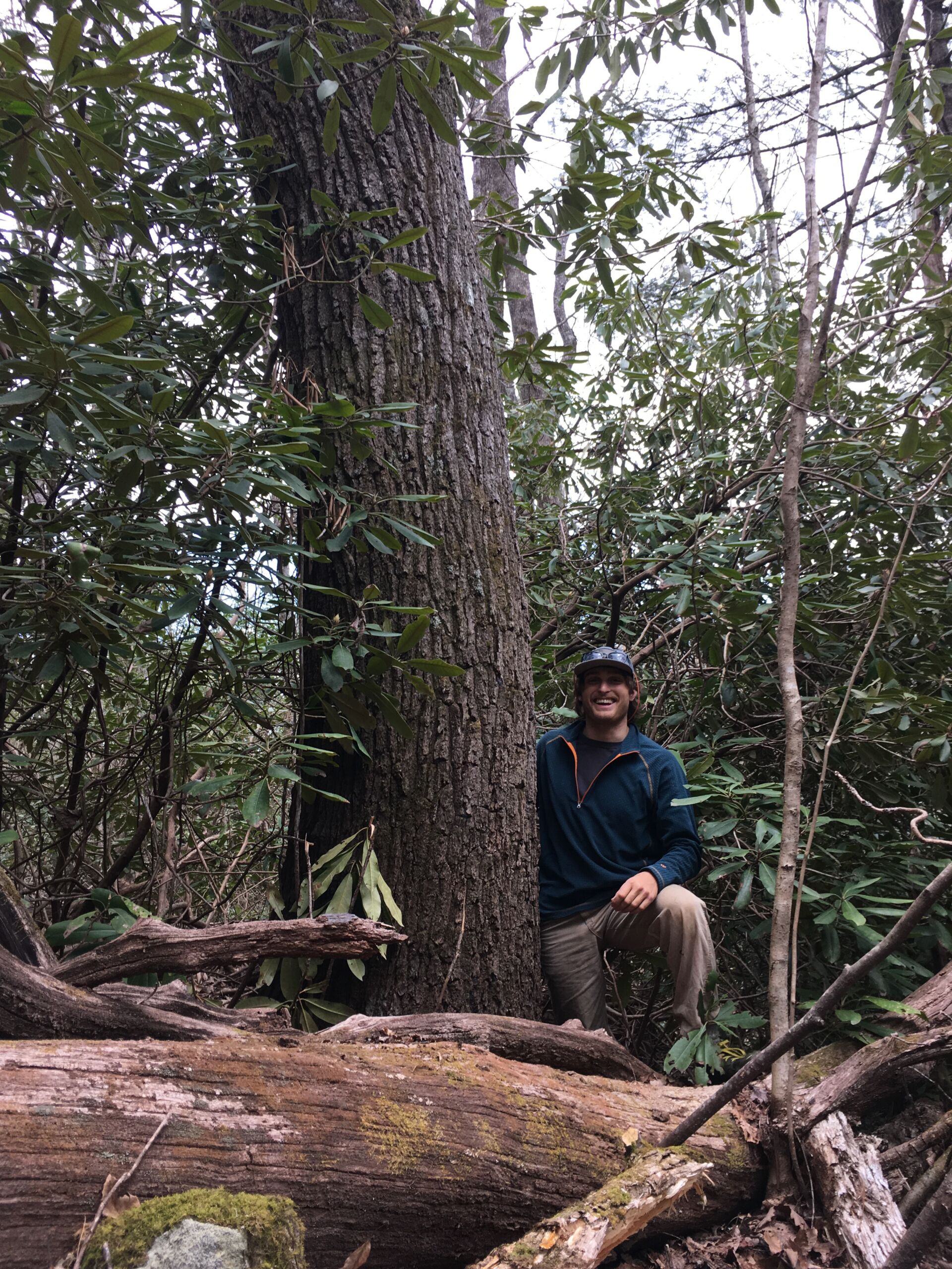
The revised plan does not protect rare old growth stands when they are discovered in the landscape. Rather, this decision is left to the local district ranger. Recent projects, such as the Southside Project, offer no assurance that district rangers will withdraw newly discovered old growth stands from timber harvesting projects. The revised forest plan should not allow district rangers the discretion to cut old growth forests.
Remedy: The Forest Service should prioritize inventorying national forest lands to locate stands that qualify as existing old growth, based on the Forest Service’s own Region 8 Old-Growth Guidance. The Forest Service should automatically protect these rare forest stands, and add them to a preserved old growth network. Do not give local district rangers the discretion to cut existing old growth. Further, all forest stands discovered to exhibit significant near-old-growth characteristics should be considered as candidates for old-growth restoration, and added to the old-growth network as merited.

Much of the Forest Service’s newly designed “old growth network” consists of trees that are, in reality, not old growth at all! In fact, about 110,000 acres (42%) of the 265,000 acre “old growth network” are younger or middle-aged forest stands. The agency’s vaunted old growth network is to make the public think that existing old growth is being protected, but that simply is not the case. Further, the Forest Service knowingly removed protections from patches of rare, existing old growth forest and has included these thousands of acres of old growth in the highest priority logging designations. The Forest Service’s “old growth network” is, in fact, part of maintaining the agency’s options to continue cutting existing old growth, to meet timber targets.
Remedy: Protect and preserve all remaining old growth forests.
The “desired future condition” of the forest, as described in the Revised Forest Plan, is heavily weighted towards crop tree management. Tellingly, the revised forest plan calls for creating “young forests” as its top priority. Over 60% of the entire Nantahala-Pisgah National Forest is open for logging, that includes post-harvest treatments using herbicides, burning and other actions geared to produce only certain species of trees for future harvesting.
The Forest Service has a long tradition of land management that favors commodity extraction through intensive timber harvesting, over other protective land management designations like as wilderness and backcountry areas, NC Natural Heritage Program natural areas, and wild & scenic river corridors. For example, the Revised Forest Plan targets 54,000 acres of NC Natural Heritage Program natural areas for timber harvesting—lands with rare and exemplary habitats that are some of the most biologically diverse areas of the forest. Pressure on the Forest Service to meet politically motivated timber targets has, over time, resulted in an agency culture geared towards measurable commodity extraction outcomes at the expense of restoring biologically diverse, healthy native forest ecosystems.
Remedy: 1) The Revised Forest Plan should establish clear standards and guidelines in all management areas of the national forest to maintain and restore native forests and their full complement of natural and physical resources such as clean water, biological diversity, rich soils, etc. 2) Special areas should be removed from the timber base, including known existing old growth, NC natural heritage natural areas, and unroaded areas possessing remote character and high ecological integrity and biodiversity values.
The Revised Forest Plan fails to recognize and recommend the areas in the Chattooga watershed that are qualified for potential wilderness area designation. These areas are the Overflow Wilderness Study Area, Ellicott Rock Wilderness Area West Extension and Terrapin Mountain. These areas are clustered in close proximity to comprise a portion of the extraordinary biological diversity of the Chattooga headwaters area, and are critical for the resiliency and overall ecological health of the Chattooga River watershed. A few supporting facts are: 1) The Overflow Wilderness Study Area is large enough to qualify as a potential wilderness area, because Overflow’s 3,900 acre potential wilderness area in NC, combined with a contiguous 2,700 acres of primitive backcountry in GA, altogether comprise a 6,600 acre potential wilderness area. State lines do not determine the boundaries of wilderness areas, as shown by the Ellicott Rock Wilderness Area. 2) The 824 acre Ellicott Rock Wilderness Area West Extension is contiguous with and will thus add resiliency to the existing Ellicott Rock Wilderness Area, to help protect and augment its existing wilderness characteristics and features. 3) Terrapin Mountain’s 5,441 acres of rugged landscapes, steep slopes and rare habitats, combined with its contiguity with the Chattooga Wild & Scenic River Corridor, support its protection as a potential wilderness area.
Areas in our public lands that are qualified for potential wilderness area designation are dwindling, due to Forest Service commodity management and extraction agendas. In fact, in the Revised Forest Plan for the entire Nantahala-Pisgah National Forest, over 100,000 acres of potential wilderness areas have been denied this needed recognition and protection. Since these special areas are not recognized and recommended in the Revised Forest Plan, the land will be subject to actions that will serve to disqualify the area for future protective designations. It’s now or never for protecting the increasingly rare wild areas in the Chattooga headwaters, and in the greater Nantahala-Pisgah National Forest.
Remedy: Request potential wilderness area designations for the Overflow Wilderness Study Area, Ellicott Rock Wilderness Area West Extension and Terrapin Mountain, because all have outstanding, unique characteristics and features that make them suitable as potential wilderness areas.
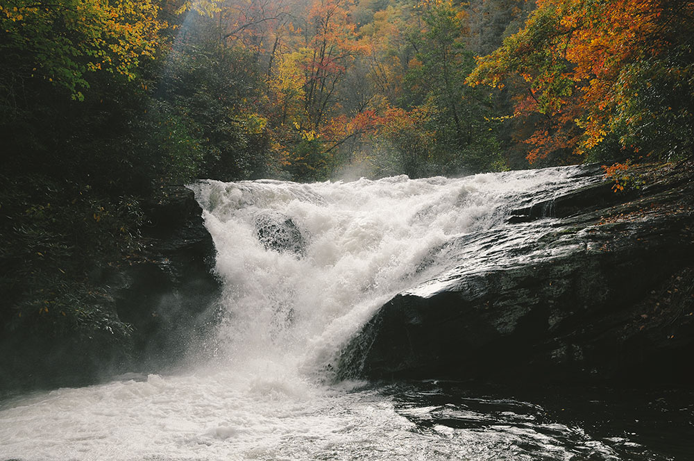
The Revised Forest Plan disregarded Overflow Creek as eligible for wild & scenic river designation, based on the unfounded opinion that it supposedly was not scenic enough and “did not actually possess outstandingly remarkable values.” This is an absurd, arbitrary and capricious statement. Overflow Creek has numerous remote waterfalls and outstanding scenic values, plus it’s very near some of the oldest forests in the entire Chattooga River watershed.
Regarding the Whitewater and Thompson Rivers, though the Revised Forest Plan did recommend these rivers as candidates for wild & scenic river designation, these outstanding rivers received a downgraded classification as “scenic” rather than “wild.” In reality, these two rivers flow through some of the most remote and wild areas in the Blue Ridge Escarpment, and are deserving of “wild” management directives for most of their linear miles.
Remedy: Recognize and recommend that Overflow Creek is eligible for wild & scenic river designation. Recommend both the Whitewater and Thompson River be upgraded from “scenic” designation, and recommended as qualified for “wild” river designation.

The Forest Service uses esoteric computer modeling software to support and justify their purported need for timber harvests and other management prescriptions. These analytical models appear to have fundamental flaws that, for example, inflate timber harvesting quotas for creating more “early successional habitat” (young vegetation less than 10 years old). Here, the modeling flaws lead to both over estimating early successional habitat in historic conditions, and under estimating current early successional habitat by not counting permanent wildlife openings, natural forest canopy gaps, and the likelihood of increased disturbance and resulting forest openings that will be caused by climate change. In sum, the agency’s flawed modeling assumptions have great bearing on their timber harvesting prescriptions and overarching land management allocations.
Remedy: Correct the fundamental modeling errors in portraying historical conditions, and to recognize present day permanent forest openings, and accurate levels of natural disturbances and smaller-sized forest canopy gaps.
There are two ways that national forest management plans can actively address climate change right now. The first is to immediately locate, protect and restore native old growth forest stands, in a network that is connected and buffered across the landscape and includes all native habitats, which will serve as migratory corridors for native plants and animals and ecosystems to migrate as the Earth warms due to climate change. The second way is to protect and restore old growth forests to sequester carbon. The Revised Forest Plan does neither, because it fails to prohibit harvesting old growth timber and does not adequately provide for an interconnected network of old growth and near old growth native forests, in order for ecosystems to adapt to climate change. Climate change must be addressed immediately to head off its catastrophic effects, and therefore the Forest Service needs to stop cutting existing old-growth now.
Regarding carbon sequestration, sadly the Revised Forest Plan sloughs off the carbon storing potential of old growth forests by asserting that young forests sequester carbon faster than old-growth forests, while completely ignoring the latest science which concludes old-growth forests continue to sequester large quantities of carbon, and that cutting down old growth will release stored carbon that will take many decades or even centuries to recover—if ever. Even more remarkable is the position of the Forest Service holding that their timber harvesting is insignificant in regards to contributing to the climate crisis. The U.S. Forest Service manages the largest amount of carbon-storage forests in the country. Yet the true climate and carbon-storage benefits of mature, intact forests are not included in the agency’s decision-making.
Remedy: 1) Include and utilize the carbon and climate benefits of mature forests and old growth forests in all decisions. 2) Manage mature and old-growth forests to preserve their carbon storage and biodiversity values.
The Forest Service claims that provisions in the Revised Forest Plan will ensure that monitoring of forest management activities will occur, to see what is working and what is not, and this monitoring information will be used to adapt implementation of the forest plan accordingly. However, the Forest Service said the same thing about the old Nantahala-Pisgah Forest Plan, but recorded monitoring data is scant or inadequate for the past nearly 30 years of the old plan’s tenure. In fact, some Forest Service managers and technicians have openly admitted that they lack sufficient resources to conduct a robust monitoring program.
The Forest Service also asserts that the Final Revised Plan is based on the best available scientific information. However, this plan favors in-house “experts,” while ignoring independent, external, compelling, expert and peer-reviewed scientific information. For an example, reference the climate change discussion in the narrative above. And although not specifically discussed in these talking points, another example especially relevant to the Chattooga headwaters is scientifically sound protections for populations of the imperiled Green Salamander—where the new forest plan absolutely fails.
Remedy: 1) The Forest Service must deploy ample resources to conduct robust monitoring of the effects of management actions. 2) Independent, expert and peer-reviewed scientific information, that does not serve commodity extraction agendas, must be incorporated into and be implemented in the Final Revised Plan. 3) Specific information about threatened, endangered and sensitive species and robust, enforceable protections for their habitat must be incorporated into the Revised Forest Plan.
The draft forest plan and draft Environmental Impact Statement (DEIS) were released in February of 2020, kicking off a comment period that ended June 29, 2020. Many citizens joined us in submitting comments to let the Forest Service know what our priorities are for managing and protecting these national forest lands. The Forest Service will be spending the next few months reviewing comments and developing the final proposed plan, which is expected to be released in late 2021.
Our main goals for the new Forest Plan are to gain protection for the Ellicott Rock Wilderness Area West Extension, Terrapin Mountain Potential Wilderness Area, Overflow Creek Wilderness Study Area, and to preserve existing old growth forests. We are also pushing for Wild and Scenic River (WSR) eligibility for Overflow Creek, the East & West Forks of Overflow Creek, the Thompson River, and the Whitewater River. For a more detailed look at our priorities, please check out our Talking Points.
Visit the Forest Service’s official Nantahala and Pisgah Forest Plan Revision page to read the complete project documents and learn about each of the proposed plan alternatives. Your voice is needed to help guide the Forest Service in completing the plan revision! Please submit your comments by June 29, 2020!
Comment online (preferred): Forest Service’s online comment analysis and response application
or
Mail To:
Attn: Plan Revision Team
National Forests in North Carolina
160 Zillicoa Street
Asheville, NC 28801
Background
The Chattooga Conservancy has long been involved in the Nantahala-Pisgah National Forest Plan Revision process, participating in partnership meetings and submitting comments. A primary goal of the organization throughout the process has been working to see that the Forest Service recognizes and protects the wilderness values of the Overflow Wilderness Study Area and the Terrapin Mountain Roadless Area, and that they consider the headwaters of Overflow Creek as qualified to be designated as an extension of the Chattooga National Wild and Scenic River.


Note: These maps illustrate our proposed Overflow Creek and Terrapin Mountain potential wilderness areas. The maps also include important national forest lands adjacent to the potential wilderness areas, such as the Wild & Scenic Chattooga River corridor, the Ellicott Rock Wilderness, the Overflow Creek area in the Chattahoochee National Forest in Georgia, and critical wildlife corridors.
Talking points:
OVERFLOW CREEK AREA
The Overflow Creek area is located in Macon County, southwest of Highlands. The area includes the congressionally designated Overflow Creek Wilderness Study Area. The late Dr. Robert Zahner, Highlands resident and one the most respected conservationists in the Southern Blue Ridge Mountains, championed the Overflow Creek area as a qualified wilderness area.
- Ask the Forest Service to revise their evaluation of Overflow’s wilderness characteristics by emphasizing the following points:
Naturalness. Overflow Creek, within the congressionally designated wilderness study area, is one of the three main tributaries that join to form the West Fork of the Chattooga River, which is protected in the National Wild and Scenic River System. Overflow has some of the most remote and secluded areas in the Nantahala National Forest, including high elevation rock outcrops, cliffs, waterfalls and old growth forests, and contains, as a whole, a high degree of naturalness.
Opportunities for Solitude. Wilderness designation would protect the outstanding and abundant opportunities for solitude in the Overflow Creek area. Any impacts to these opportunities are not, as a whole, pervasive, and are effectively screened and buffered by the area’s topography and lush vegetation. Under the Eastern Wilderness Act, moreover, surrounding developments must not be considered to the extent that they were in the Forest Service’s initial evaluation of the area. In addition, the Forest Service should also consider active and/or passive restoration of wilderness characteristics.
Opportunities for Primitive/Unconfined Recreation. The Overflow Creek area provides outstanding opportunities to engage in primitive and unconfined recreation that lead to a visitor’s ability to feel a part of nature. These include observing wildlife, hiking, backpacking, hunting, horseback riding, fishing and camping. Again, impacts to these opportunities are not, as a whole, “pervasive,” and they are effectively screened and buffered by the area’s topography and vegetation.
Size & Manageability. The Forest Service stated that the Overflow Creek area is “smaller than stand-alone area size usually considered practicable for preservation and use in an unimpaired condition.” However, the Overflow Creek area is not too small. The Forest Service only evaluated the Overflow area as far as the North Carolina state line, and failed to consider the area’s contiguousness with 2,700 acres of primitive backcountry just across the state line, in the Chattahoochee National Forest in Georgia. Overflow’s 3,900 acre potential wilderness area in NC, together with a contiguous 2,700 acres of primitive backcountry in GA, encompass a 6,600 acre potential wilderness area. State boundaries should not determine the boundaries of wilderness.
Note:
- Wilderness helps our local economy. Property values and tourist dollars go up where natural resources have been protected.
- If Overflow becomes wilderness, management of the area will essentially stay as it is now. If it is declassified as a wilderness study area, it will be developed for other uses.
TERRAPIN MOUNTAIN AREA
The Terrapin Mountain area is located in Jackson and Macon Counties, just south of Cashiers, and is a 5,450 acre core area of rich biological diversity. It includes the Chattooga Cliffs—a unique scenic attraction along the Chattooga Wild and Scenic River—and portions of the Chattooga Wild and Scenic River corridor. A viable wildlife corridor also exists that connects the Terrapin Mountain area with the Ellicott Rock Wilderness Area.
-
- Ask the Forest Service to revise their evaluation of Terrapin Mountain’s wilderness characteristics by emphasizing the following points:
Naturalness. The Terrapin Mountain area, as a whole, has a high degree of apparent naturalness. It includes impressive granitic domes at higher elevations, rare plant and animal communities, and supports high quality waters and diverse aquatic communities. Old logging roads throughout the area are not maintained and are almost completely overgrown. Linear wildlife strips, moreover, are not to be considered as a limiting factor for wilderness, under the guidelines of the Eastern Wilderness Act.
Opportunities for Solitude. Wilderness designation would protect the outstanding and abundant opportunities for solitude in the Overflow Creek area. Any impacts to these opportunities are not, as a whole, pervasive, and are effectively screened and buffered by the area’s topography and lush vegetation. Under the Eastern Wilderness Act, moreover, surrounding developments must not be considered to the extent that they were in the Forest Service’s initial evaluation of the area. In addition, the Forest Service should also consider active and/or passive restoration of wilderness characteristics.
Opportunities for Primitive/Unconfined Recreation. The Terrapin Mountain area offers outstanding opportunities for solitude and unconfined/primitive recreation. Under the Eastern Wilderness Act, adjacent land uses and development cannot be the sole negating factor for an area’s opportunities for solitude and unconfined/primitive recreation.
Size & Manageability. The Forest Service argues that existing private land inholdings impact the area, and that a viable wildlife corridor between Terrapin Mountain and the Ellicott Rock Wilderness Area is prohibited by private land inholdings; however, their analysis is incorrect because much of the inholding acres have been acquired by the Forest Service. Under the Eastern Wilderness Act, moreover, adjacent private land ownership patterns should not be the sole negating factor for an area’s size and manageability as a wilderness area. Wilderness designation for the remote, biologically rich Terrapin Mountain area, and its connectivity with Wild & Scenic Chattooga River Corridor and the Ellicott Rock Wilderness Area, will help provide for viable populations of unique native plants and animals.
Note:
- Help ensure that the Forest Service’s mistakes are corrected, and that the Forest Service gives proper consideration of the Overflow Creek and Terrapin Mountain areas as potential wilderness areas. Your comments can help protect these remarkable landscapes for future generations!
SEND COMMENTS TO:
Submit online (preferred): Forest Service’s online comment analysis and response application
or
Mail To: Attn: Plan Revision Team | National Forests in North Carolina | 160 Zillicoa Street | Asheville, NC 28801