The Andrew Pickens Ranger District in SC is currently accepting comments on two sets of documents related to the White Pine Management Project:
40-acre Exemption: On 9/14/20, the Andrew Pickens Ranger District (APD) released a proposal to exempt the district from the Sumter National Forest’s limit on timber cutting “openings” (clear-cuts) exceeding 40 acres. This proposal has to be approved by the agency’s Regional Forester in Atlanta. The APD wants this 40-acre exemption to facilitate their proposed White Pine Management Project. The 40-acre exemption’s goal is to allow clear-cuts of white pine, and clear-cuts of white pine plus adjacent loblolly pine, to exceed 40 acres.
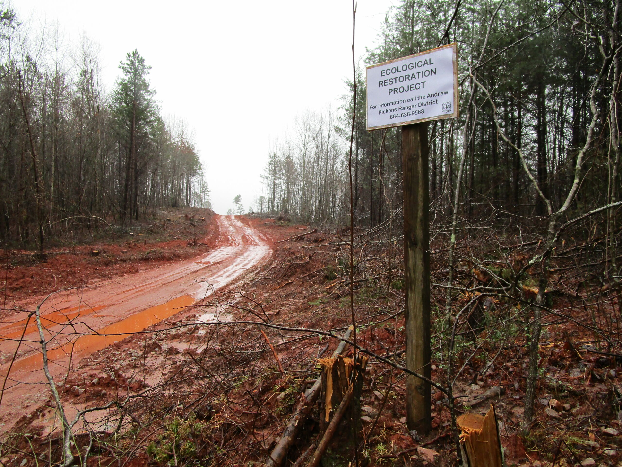
White Pine Project Environmental Assessment (EA): On 10/14/20, the APD released the “environmental assessment” (EA) for their White Pine Management Project. This proposed project involves timber harvesting of predominately white pine stands, through clear-cutting 1,261 acres, group selection on 711 acres, and constructing 10 miles of temporary roads.
Comments will be accepted until 11:59 PM on Friday, Nov. 13th. Please submit comments and make your voice heard!
Talking Points
40-acre Exemption
We don’t believe the APD has grounds to exempt clear-cuts from the 40-acre limit laid out in the 2004 Sumter Forest Plan. In short, the APD cites the 2012 Planning Rule to justify this proposed exemption, but the current forest plan (2004) was developed under the defunct 1982 Planning Rule. Therefore, we believe the Forest Service’s application of the 2012 Planning Rule to the 2004 Forest Plan presents a significant procedural glitch in this decision-making process. Tell the FS that the 2012 Planning Rule does not appear to apply to the old, 2004 Sumter Forest Plan.
White Pine Environmental Assessment
Thanks to the 154 people and organizations who provided their input on the APD’s scoping notice for the White Pine Project! The APD made slight changes to their original proposal, but unfortunately the Forest Service discounted or sidestepped the overwhelming majority of citizens’ concerns. Ours remain—as clearly stated in our scoping notice comments—about negative impacts to old growth, recreation resources, soils, erosion and sedimentation into streams, and the cumulative impacts of clear-cutting across the landscape. Some of these issues are addressed below, in response to the EA’s content.
- Old Growth. The APD has failed to acknowledge the importance of and act upon the need for managing portions of the forest to restore a functional old growth network. Of all the habitats in eastern North America, old growth forests are the scarcest. This is especially true in the APD. In the project area, relatively small and isolated old growth stands are located at Swafford Creek, Sandy Ford Road, Mongold Gap, Big and Little Stakey Mountains near Orr Mill Road, and Ira Branch near the Chattooga Wild & Scenic Corridor. All of these old growth areas are near or contiguous with the proposed white pine timber harvests and/or the loblolly pine clear-cuts. The rare old growth stands in the project area should be prized and cared for through establishing a connected network of intact native forests, rather than surrounded by clear-cuts, prescribed burns, and systematic herbicide treatments.
- Road Construction. The White Pine Project EA does not fully disclose how all of the stands would be accessed by logging trucks and/or skidders. The EA shows fixed locations for temporary access roads into many of the stands, but not all. For example, access to C34/S17, C34/S18, C31/S4, and C34/S21 in the Swafford Creek area from FS 722 (old Fall Creek Rd) will require crossing Swafford Creek, a classified Trout Natural (TN) stream with relatively high water quality standards. Without advance consideration of how those stands will be accessed in the EA, the Forest Service cannot fully assess how the creek’s water quality will be affected by project implementation. In addition, the APD has not disclosed this information for public comment. Even if all appropriate design criteria, Forest Plan standards, and SC BMPs are followed, some sensitive riparian areas and high quality streams in the project area could be seriously damaged by proposed harvesting activities. The Forest Service should carefully consider and disclose the environmental impacts of access routes in all stands that would require stream crossings, operating in close proximity to streams, traversing rugged terrain, or extending far from maintained system roads.
- Streams. Even with use of appropriate BMPs, the cumulative impacts of the White Pine Project and the ongoing Loblolly Pine Removal & Restoration Project could degrade high quality streams in the project area. The majority of the streams in the project area are classified Outstanding Resource Waters (ORWs) or TN streams, and both classifications carry higher water quality standards to protect aquatic habitat and maintain existing stream uses. Timber harvests associated with the two projects would be occurring on the district at the same time, and in some cases on adjacent stands. While the Forest Service states both projects will follow appropriate design criteria, standards, and BMPs to protect water quality, we do not agree that these issues have been given sufficient attention. The Forest Service should thoroughly assess the potential combined effects of concurrent and adjacent timber harvests in relation to nearby high quality streams.
- Cumulative Impacts. While the EA discounts any significant cumulative impacts of concurrent projects on the APD, we disagree with this broad evaluation. Plainly apparent to the casual observer, for example, are localized negative impacts to soil resources from the ongoing Loblolly Project, where multiple instances of excessive erosion and sedimentation have occurred in Turkey Ridge Road area, Charlie Cobb Rd. area, etc. Another example concerning wildlife corridors could be the significant cumulative impacts of concurrent Loblolly, White Pine and prescribed burning projects, which clearly would disrupt and/or essentially destroy migratory corridors for wildlife across thousands of acres in the APD.
Project Changes from Scoping Notice to EA:
- Total acreage reduced from 2,148 acres to 1,972 acres: 1,261 even-age/clear-cuts with reserves (down from 1,487), and 711 acres uneven-age group selection (up from 661).
- Increased target basal area range from 70-90 sq. ft. to 90-110 sq. ft.
- Modified harvests on Round Mountain to a patch network of clear-cuts with one area of uneven-age harvest on the southeast side.
- Modified harvests and treatments near Rocky Gap Horse Trail to do thinning instead of regenerating, use buffers, etc. to reduce number of trail segments and miles that overlap with harvests. Removed C32/S5.
- Modified harvests around John Mtn/Old Field Mountain slightly.
